


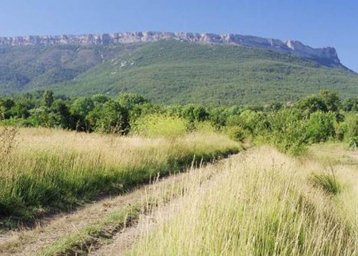
Mont Aurélien, Pourrières side in Pourrières
image
Very beautiful massif with a view of the Sainte Victoire mountain, which overlooks the famous Aurelian way. Also note the Smugglers' Path, the ruins of the medieval castle of Roquefeuille and the site of the old marble quarry.
Culminating at an altitude of 880 m, Mont Aurélien straddles 3 municipalities: Saint Maximin La Sainte Baume, Pourcieux and Pourrières. Below, you can see remains of the Aurelian Way, the famous Roman road. Also note the Smugglers' Path, the ruins of the medieval castle of Roquefeuille and the site of the old marble quarry.
The rocky bar of Mont Aurélien, locally called "Le Baou", dominates and shades a cool forest. Mainly made up of pubescent oaks, this forest also includes a procession of rare plants constituting the remains of a beech grove that has now disappeared.